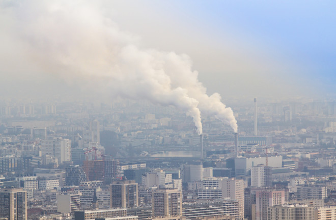
Science suggests that air quality varies from neighborhood to neighborhood. And it also suggests that lower income neighborhoods are often subjected to worse air quality. These places are often closest to the factories, airports and highways that spew pollution and add toxic chemicals to our air.
According to Aaron Piña, a national program lead for atmospheric science and fire weather at the U.S. Forest Service, historically, the east side of town was where the factories, ports and railways existed and also where the lowest-income neighborhoods were built. At the same time, the quality of the buildings and the ventilation inside homes also contributed to the overall poorer air quality. "Think about building materials as well, things like asbestos and lead," says Piña.
Read More: Washing and Drying Machines are Polluting the Air
But while we know that air quality varies by neighborhood, this is the first time we've been able to show it so accurately. Researchers at NASA are "our eyes in the sky," says Piña, showing us that these disparities exist and also showing us what chemicals and pollutants are present in real-time.
In early April, NASA plans to launch a new tool called The Tropospheric Emissions Monitoring of Pollution instrument (TEMPO). It's a satellite-mounted instrument that will fly in orbit, providing hourly observations of air quality in North America, says Barry Lefer, NASA's program scientist for TEMPO.
Introducing TEMPO
TEMPO is in "geostationary orbit," meaning that it's 22,000 miles above the Earth and orbiting around the planet above the same point on Earth's surface. "It's always over the same spot, which means we're able to sample from sunrise to sunset, hourly in the same area," says Lefer.
This is important because while previous satellites could sample air quality, they flew at lower levels, meaning they could see many areas but only at certain parts of the day. TEMPO is different because it gives us a complete look at air pollution throughout the day. Additionally, the resolution is much higher, which means we can gather a lot more data. "We'll have neighborhood scale resolution, and we'll also be able to see how pollution moves from one part of a city to another," says Lefer.
TEMPO will also be able to show us two types of air pollution. What's called "primary pollution" or the pollution that's emitted directly from vehicles and smokestacks, as well as the pollution that travels in the atmosphere and causes the chemical reactions that result in "secondary pollution."
Lefer says that TEMPO will observe pollutants like nitrogen dioxide, sulfur dioxide, ozone and formaldehyde. "This way, we can see how much of each pollutant is in the atmosphere," Lefer says.
Pollutants and Their Impact on Public Health
Each one of the pollutants that NASA is observing has an impact on public health. Research has shown, for example, that 28 percent more NO2 pollution from power plants and highways is present in neighborhoods with more people of color. And the presence of such pollution can result in as much as a 20-year difference in life expectancy. According to research from the Harvard T.H. Chan School of Public Health, kids living in poorer neighborhoods also have higher rates of asthma.
While the air quality has improved in recent decades, according to Lefer, over 100 million Americans still breathe unhealthy air at least a few days a year. And to improve the quality, we need to know the places that are the hardest hit and the sources that are causing it.
TEMPO will provide more accurate real-time air quality data to the states that are then required to meet EPA regulations. States and localities will have the information, and hopefully, then they can get to work cleaning up the air we breathe.
Read More: New Study Links Traffic Pollution to Pediatric Asthma
