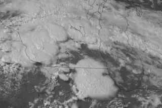
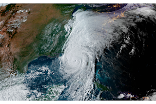
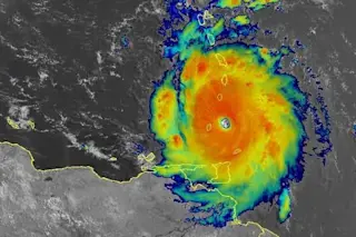
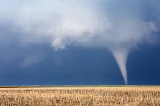
The evolution of large thunderstorms over the Upper Midwest on Wednesday can be seen in this GOES-14 weather satellite animation. Click on the image to see the animation. (Source: CIMSS Satellite Blog) Operating in a special mode, the GOES-14 weather satellite captured a stunning animation of the birth and growth of massive thunderstorms over the Upper Midwest yesterday. Click on the image above to watch it. The thunderstorms spawned tornadoes, large hail, tree-toppling winds, and widespread power outages. But so far the storm system has failed to produce a derecho — a widespread, highly damaging cluster of thunderstorms arrayed in a line. Forecasters had warned that formation of a derecho was possible. After their birth over parts of Minnesota, Iowa, Wisconsin, and Illinois, the huge thunderstorms moved east. They've now barreled into the mid-Atlantic. To record the birth and evolution of the storms in detail, the GOES-14 satellite was put ...
Eruption of Massive, Tornado-Spawning Thunderstorms Captured in Spectacular Satellite Animation
Discover the stunning GOES-14 satellite footage capturing large thunderstorms in the Upper Midwest, with tornadoes and hail events.
More on Discover
Stay Curious
SubscribeTo The Magazine
Save up to 40% off the cover price when you subscribe to Discover magazine.
Subscribe

