Early this morning, winds gusted to 93 miles per hour near California’s Kincade Fire.
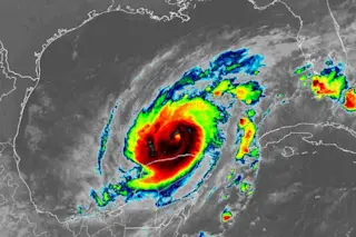
A Category 1 hurricane is characterized by sustained winds of 74 to 95 miles per hour.
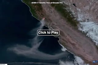
The animation of satellite images above shows the effect of those fierce winds, starting before dawn and carrying on into the daylight hours. It consists of visual and infrared data captured on Sunday, Oct. 27 by the GOES-17 satellite, allowing us to see both the smoke and areas of active burning.
The GOES series of satellites are perched 22,236 miles above Earth’s surface, in geosynchronous orbit.
Here’s another view from space, captured by GOES-16, which has a perspective to the east of its sister satellite:
California’s Kincade Fire, as seen by the GOES-16 weather satellite on Oct. 27, 2019. Two other new blazes are also visible. (Source: RAMMB/CIRA/SLIDER)
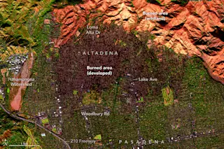
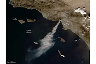
In a an orbit just 443 miles above Earth, NASA’s school-bus-sized Terra ...


