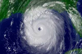
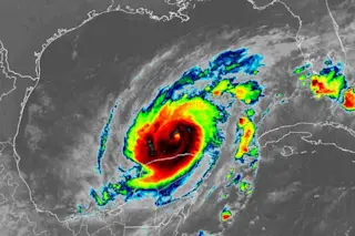
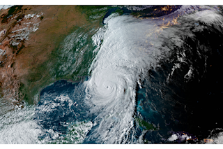
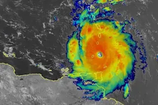
Hurricanes, typhoons, tropical cyclones — whatever you call them, it’s prime time for these marine storm systems. The season peaks roughly mid-August through mid-October in our neck of the woods. So let’s take a look at some of the major mile markers for how we came to understand these forces of nature.
1743: John Winthrop is the first to scientifically measure a hurricane; he gathered tidal and pressure data on a storm that passed through the northeastern U.S.
1819: John Farrar first describes a hurricane as a “moving vortex” in his published account of The Great September Gale of 1815 that struck New England.
1847: William Reid creates the Northern Hemisphere’s first hurricane warning system in Barbados.
William Reid (Credit: NOAA)
NOAA
1870: The U.S. establishes what would become the National Weather Service. The organization issues its first hurricane warning just three years later.
1944: With the help of aircraft, ...


